Lake Murray – or “Miss Murray” as the locals say – is located in the center of South Carolina. Makes for easy traveling anywhere you want to go. The lake is huge – it’s the 10th largest man-made lake in the United States and covers about 50,000 acres with over 600 miles of shoreline. It’s 41 miles long, 14 miles at its widest point, 190 feet at its deepest point, and extends into four counties – Richland, Lexington, Newberry and Saluda. Miss Murray is easy to find; it’s accessible by I-26 at Irmo and Chapin exits, and by I-20 at Lexington exits, or just stop and ask anybody, and they can point the way.
Lake Murray is a known for boating, sailing, fishing tournaments, skiing, purple martins, and several waterfront restaurants. There are sailboat clubs, paddleboard clubs, and even yoga on the lake. The homes on Lake Murray range from small condos to large mansions and everything in between, with many housing developments on or near the lake.
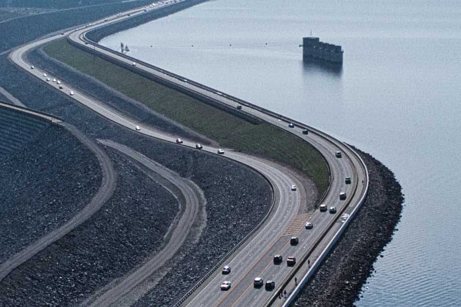
The lake was named after Walter S. Murray, the engineer involved in the design and creation of the Lake Murray Dam as a way to generate electricity for the area. Now, it’s an abundant resource for recreation, drinking water, fisheries, wildlife, and lots of fun.
As with anything fun, there are rules, and Dominion Energy is responsible for land use and shoreline management and, along with the state of South Carolina, are the rule makers for everything regarding the lake. A Shoreline Management Handbook and Permitting Guidelines Handbook were created to comply with Project License, state and federal regulations, and the Federal Energy Regulatory Commission.
Permits are required for lake users, projects, activities, and development to protect the lake’s shoreline and waters. Prior to beginning any project, property owners must contact Dominion Energy’s Lake Management Department and appropriate county offices for approval. Anyone making major repairs, or looking to add, replace or construct a dock, needs to file an application for a permit. Applicants should expect to include a sketch showing location, design and dimensions of the proposed structure, specific directions to the property, a plat of the property, and pay a permitting fee. *Tip – construction of any kind cannot be started until written permission is received.
Lake levels change throughout the year because the lake operates on a seasonal fill-up and draw-down basis, with water levels ranging from 350′ to 358′. Lower levels normally occur in December and gradually increase to higher elevations by the end of May. Many lake residents use these periods of draw-down to make dock repairs and improvements or find those sunglasses you dropped in the water last June.
Lake Murray has something for everyone. If you want waterfront living, this is the place to be!
Additional important information regarding fees, assessments & guidelines can be found at the following links:
Lake Murray Evacuation Map
Navigational Aids Marking Form
Aquatic Plant Assessment 2018
Lake Murray Permitting Guidelines
Lake Murray Fee Schedule
Boatlifts and Slip Docks